
Our Services
Professional aerial imaging tailored to your project needs. Every service is custom quoted based on scope, location, and requirements.
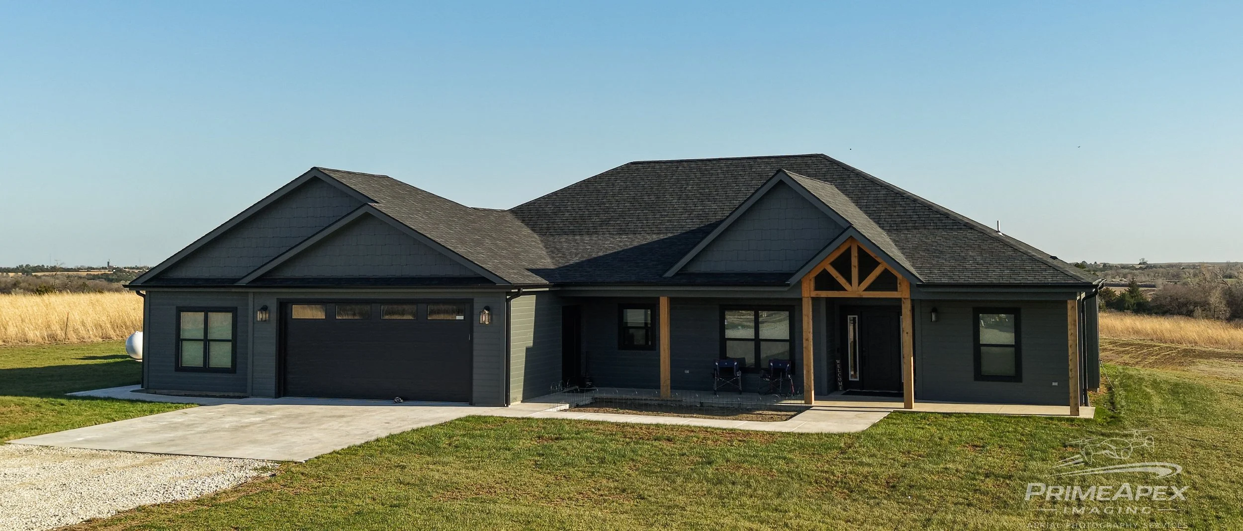
Real Estate Aerial Imaging
Professional aerial imagery designed to highlight property layout, surroundings, and key features. This service is intended to help present properties clearly and professionally from the air.
Use cases: Residential listings, commercial listings, feature highlighting, property overview shots.
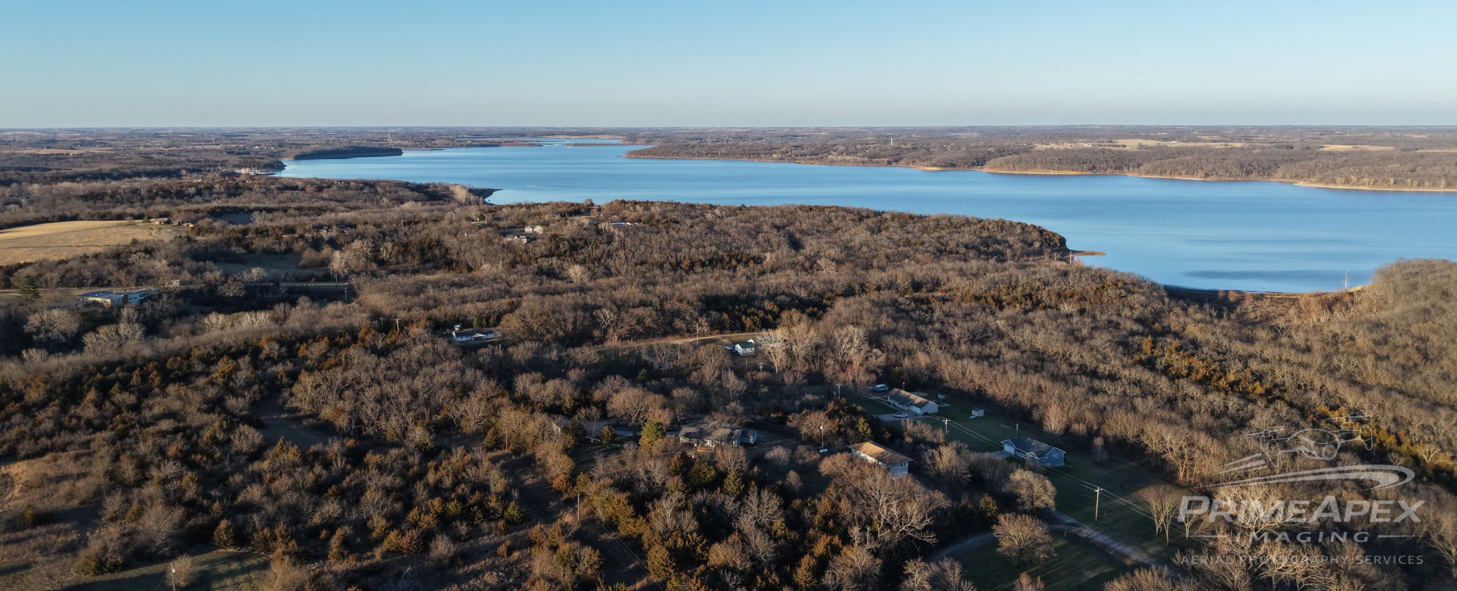
Land & Acreage Imaging
Wide-area aerial coverage for land, acreage, and rural properties. This service is focused on showing scale, boundaries, access, and surrounding context in a way ground-level photos cannot.
Use cases: Vacant land, farms, acreage listings, rural property marketing.
Roof & Property Inspection Imaging
Safe, high-resolution aerial imaging for roofs and exterior inspection needs without requiring physical roof access. Ideal for documentation, condition review, and project support.
Use cases: Roof condition imagery, exterior problem areas, property documentation.
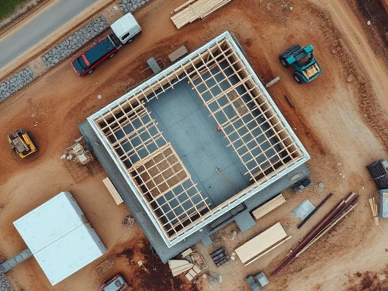
Construction Progress Imaging
Consistent aerial documentation that captures project progress over time. This service helps create a clear visual record of development milestones and ongoing work.
Use cases: Progress tracking, stakeholder updates, before-and-after documentation.
Custom Requests
Additional aerial imaging services may be available depending on project scope, location, and requirements.
Use cases: Specialty capture requests, unique properties, one-off documentation needs.
Coming Soon
Pet & Livestock Recovery
Thermal-based search support for missing pets or livestock. This service is currently in development and not yet available.
Solar / Energy Efficiency Imaging
Energy-related imaging and analysis support, including solar-related and efficiency-focused imaging. This service is currently in development and not yet available.